Drones Revolutionizing Weed Management and Crop Care

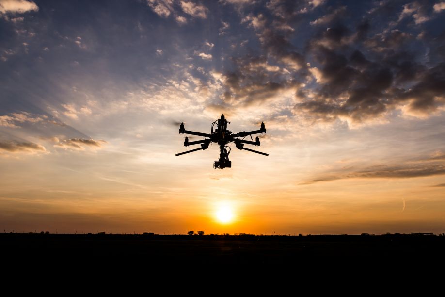
Wheeling over wheat fields, a swarm of flying cameras hones in on its prey — tumbleweeds. Beyond the silver screen, this iconic traveler of the American west is an invasive, troublesome weed, the bane of farmers everywhere. It and other nuisance plants are a leading cause of crop damage, but now, robots are raining death from above. Farming has taken on a whole new meaning.
Patrolling the Skies
For the urban public far removed from food production, agriculture may conjure images of a slow, simple life spent hand-planting beans in the sun, an idyllic if difficult job. The reality is faster, sleeker and more in line with the notion of industry, a Henry-Ford-esque symphony of machines. Drones may be newcomers on the scene, but they’re not out of place.
Unmanned aerial vehicles (UAVs) slash through crop-eating moths like butter, sending an iridescent confetti of wings and mouthparts to the greenhouse floor. They patrol the glass nurseries alone. Before these flying guard dogs took up their post, farmers lost a lot of produce to insects. Now, drones allow them to use less pesticide and enjoy higher yields.
To a robot, a cornfield glows with electric light, with near-infrared heat reflecting off the leaves. A sicker plant emits a dimmer shine. This process is invisible to the human eye, but farmers can use UAVs equipped with cameras to monitor plant health, singling out sickly plants and delivering targeted treatments.
Weeds are one of the biggest threats to crop production. In the U.S. and Canada, weeds competing for light, nutrients and water destroy a combined average of 23.4% of winter wheat yields. That’s almost a fourth of all wheat plants — and the fertilizers, herbicides, fungicides and pesticides applied to them — going to waste. With over 800 million people suffering from food insecurity, that’s an unacceptable loss.
Drones can broadcast chemicals over entire fields or apply them to specific plants with remarkable accuracy. Fixed-wing planes take a clumsy approach — as the product leaves the tank in a hazy cloud, much of it blows beyond the pasture’s edge. Planes simply can’t fly as close to the crops as a drone can. As a result, drones save money and boost yields with a much lower environmental impact than planes.
After a rain — when the soft soil is vulnerable to a tractor’s heavy-handed blade — drones can fertilize the ground without touching it, more delicate than a bee. Like underwater autonomous vehicles — their marine counterparts — some drones can even fly on specific routes or schedules without an operator.
Helping the Planet
This type of precision agriculture is good for the Earth. The Environmental Protection Agency estimates farming accounted for 11.2% of American greenhouse gas emissions in 2020, with much of that coming from diesel- and gas-powered vehicles. Drones are electric and will play a significant role in combating climate change. They help grow more food with less land, less fertilizer and fewer pesticides.
Red Tape
For all their merits, drones aren’t perfect. The Federal Aviation Administration requires farmers to double as pilots to operate the drones legally or get a specific pilot’s license. It’s illegal to use many UAVs without one.
Like all things farming related, drones are subject to wind and rain. Short battery life is also a concern, although recent advancements have allowed drones to carry more weight and stay in the sky longer. As technology continues to improve, drones will become cheaper and more applicable to various farming applications.
A New Era of Farming
Drones are integrating seamlessly into modern agriculture. The more widespread they become, the more likely supermarket shelves will brim with fruits, vegetables and grains grown with the help of robots — the newest tool in the farmer’s arsenal.
Comments (0)
This post does not have any comments. Be the first to leave a comment below.
Featured Product

